"Let me take a point with the GPS." We all say it, but what we usually hold in our hand is a GNSS receiver. They are not the same thing, and in precision surveying that difference is what separates an error of several metres from an error of a few centimetres. Here it is, in plain terms.
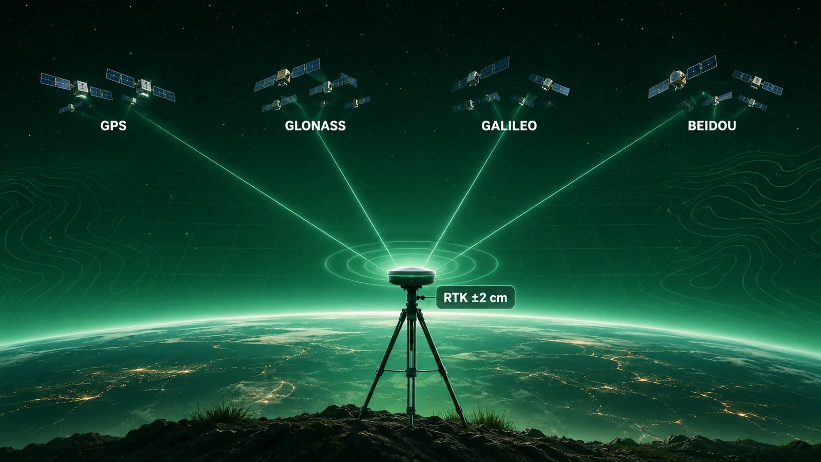
"GPS": a brand name that stuck
GPS (Global Positioning System) is the United States' satellite positioning system. It was the first to work globally and at mass scale, so its name became shorthand for "satellite positioning" in general. But GPS is just one of the satellite constellations orbiting the Earth.
What GNSS really is
GNSS stands for Global Navigation Satellite System: the umbrella term for all satellite navigation constellations. Four of them are operational worldwide today:
GPS (United States), GLONASS (Russia), Galileo (European Union) and BeiDou (China). A modern GNSS receiver does not listen to GPS alone: it picks up signals from several of these constellations at once.
Put simply: all GPS is GNSS, but not all GNSS is GPS. GPS is one part; GNSS is the whole set.
The difference that matters in precision surveying
To fix its position, a receiver needs to "see" several satellites at once and work out the distance to each. The more satellites in view, the more reliable and precise the calculation. This is where GNSS wins hands down:
More satellites available. Using all four constellations, a receiver can have dozens of satellites in view instead of the handful GPS alone would offer. That means fixing a position faster and with less uncertainty.
Better coverage in difficult places. In narrow streets, next to buildings, under tree cover or in ravines, part of the sky is blocked. With more constellations you are far more likely to keep enough satellites in view to carry on working.
Greater robustness. If one constellation has problems or a satellite fails, the others remain. The measurement does not depend on a single system.
From metres to centimetres: RTK and PPK
A phone or a car navigator gives you a few metres of accuracy: enough to know which street you are on, but useless for marking the centreline of a pipe or the edge of a plot. Precision surveying needs centimetres, and that is achieved with correction techniques.
RTK (Real-Time Kinematic) corrects the position in real time using a reference station (your own, or one from a network of permanent stations) that sends corrections to the receiver. The typical result in the field is an accuracy of around ±2 cm. PPK (Post-Processed Kinematic) applies the same corrections afterwards, in the office, when there is no good connection in the field.
These techniques work better the more satellites are available, so the "multi-constellation GNSS + RTK" combination is what makes it possible to work with real accuracy guarantees.
GPS or GNSS: which do you need?
To find your way around town or log an approximate route, the GPS in any phone is plenty. But when it comes to topographic surveys, setting out, boundary definition, network inventory or any data that will later feed a GIS, you need a GNSS receiver with RTK/PPK correction: it is the only way to guarantee that a point is where it says it is, to the centimetre.
At EBREGIS we work with precision GNSS positioning for field data capture, setting out and infrastructure digitisation, and we feed that information straight into custom GIS systems. If you have a project that depends on knowing exactly where everything is, we can help.